8point8 Rail – Drone Survey
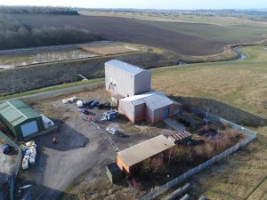
This was a recent drone survey involving our specialist 3D modelling and 3D point cloud capabilities. This unique software can convert this image into a CAD Drawing, producing the measurements of any item on site. Capturing Hi-Res photos and 4K video for reference at any time by the client, our drones can handle a range of survey requests. For further info see https://lnkd.in/eiyq8UZ or call now: 01302 965050